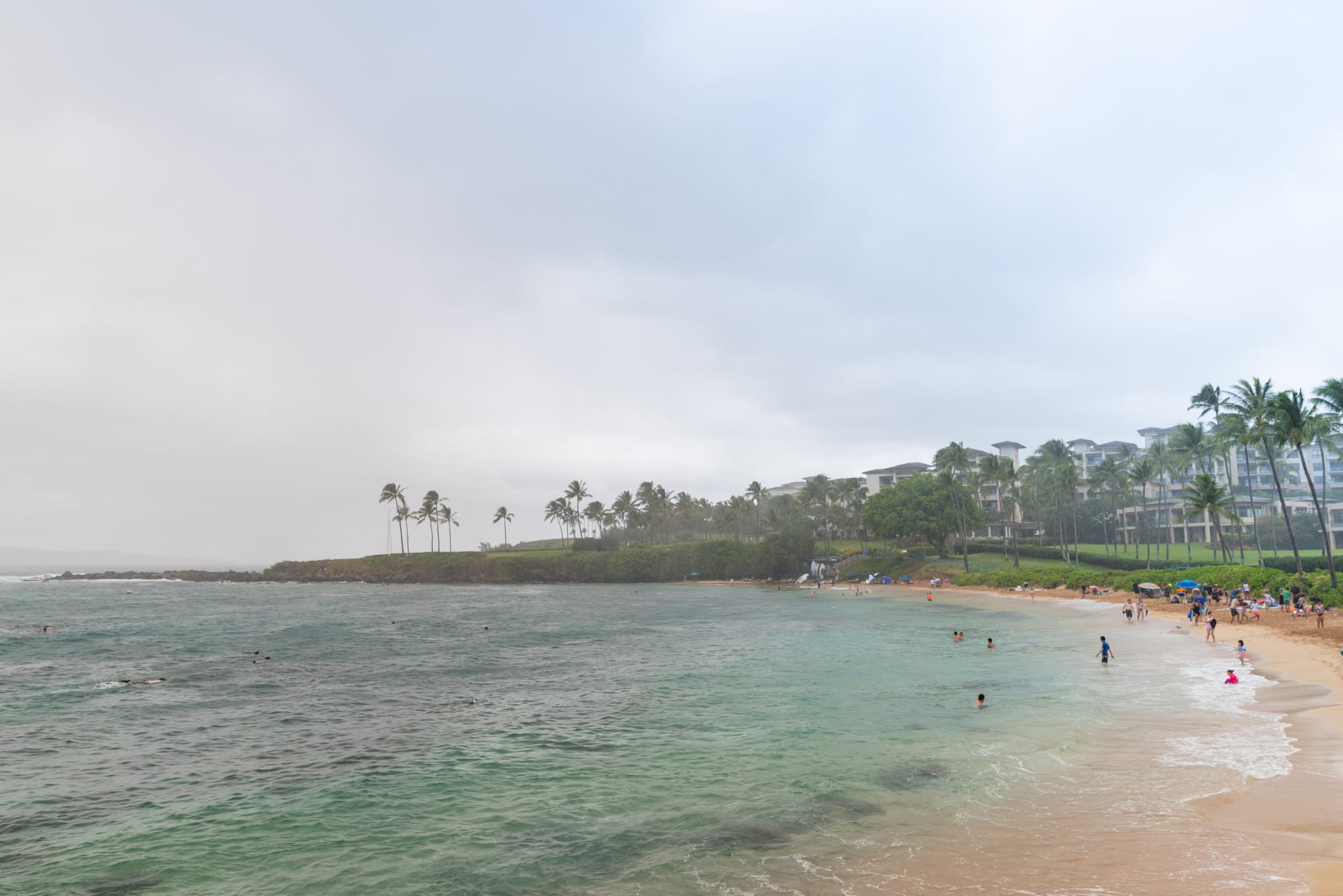
Kapalua Bay
20°59′57″N 156°40′05″W
Kapalua
- Golden
- Sand
- Sandy
- Water entry
- Calm
- Swimming
- None
- Surf
- Excellent
- Snorkelling
- Busy
- Crowd
The next bay north of Napili and the more sheltered of the two: two rocky points close the mouth almost shut, which keeps the water flat when the swell is up and makes it the reliable swim on the west side in winter.
That shelter is also why it is the busier one. There is a real car park, which Napili does not have, and it fills early.
Plan of the bay
20°59′57″N 156°40′05″W —open Kapalua Bay on OpenStreetMap.
Best months
April – October. Outside that window the same beach is a different place.
Facilities
- Toilets
- Showers
Access and parking
Free parking. A small free car park off Lower Honoapiilani Road with a tunnel under the road down to the sand. Full by mid-morning most days.
What the survey found
Everything here is read from OpenStreetMap at the coordinates above, not from a press pack.
- Toilets
- Mapped
- Showers
- Mapped
- Food or drink
- Mapped
- Rentals
- Mapped
- Lifeguard
- Not mapped
- Parking
- 32 areas · charge not recorded
Nearest settlements: Kapalua 0.56 km, Napili 1.46 km, Kahana 2.81 km.
SourceOpenStreetMapsurveyed 2026-09-21
More photographs
Taken by other people and licensed for reuse. Each was checked against Kapalua Bay's own coordinates the same way the picture at the top was.
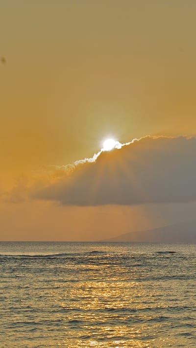
kevinmcgill from Den Bosch, NetherlandsCC BY-SA 2.0Sunset at Kapalua (4597580828) 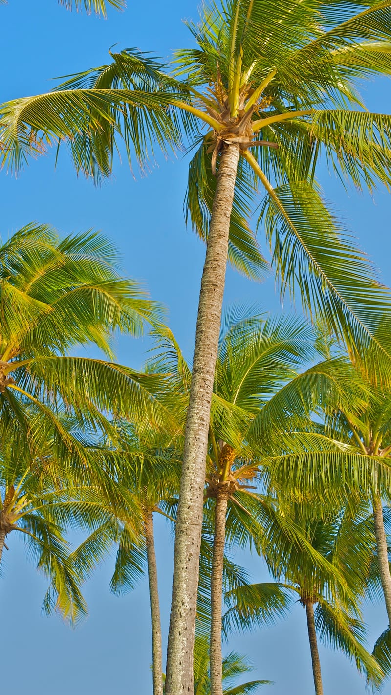
kevinmcgill from Den Bosch, NetherlandsCC BY-SA 2.0Kapalua Palms (4597578824) 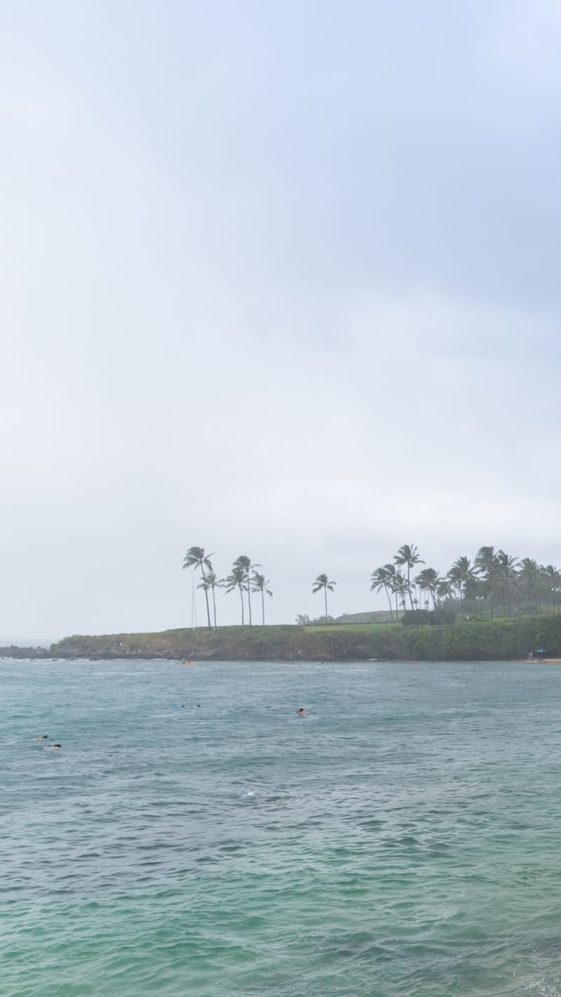
dronepicrCC BY 2.0Kapalua Strand park Maui Hawaii (45689882342)
.jpg)
.jpg)
.jpg)
Nearby beaches in Maui
- Napili Bay
Golden · Moderate · Busy