Pink Sands Beach
25°30′20″N 76°37′54″W
Dunmore Town
- Pink
- Sand
- Sandy
- Water entry
- Moderate
- Swimming
- Beginner
- Surf
- Fair
- Snorkelling
- Quiet
- Crowd
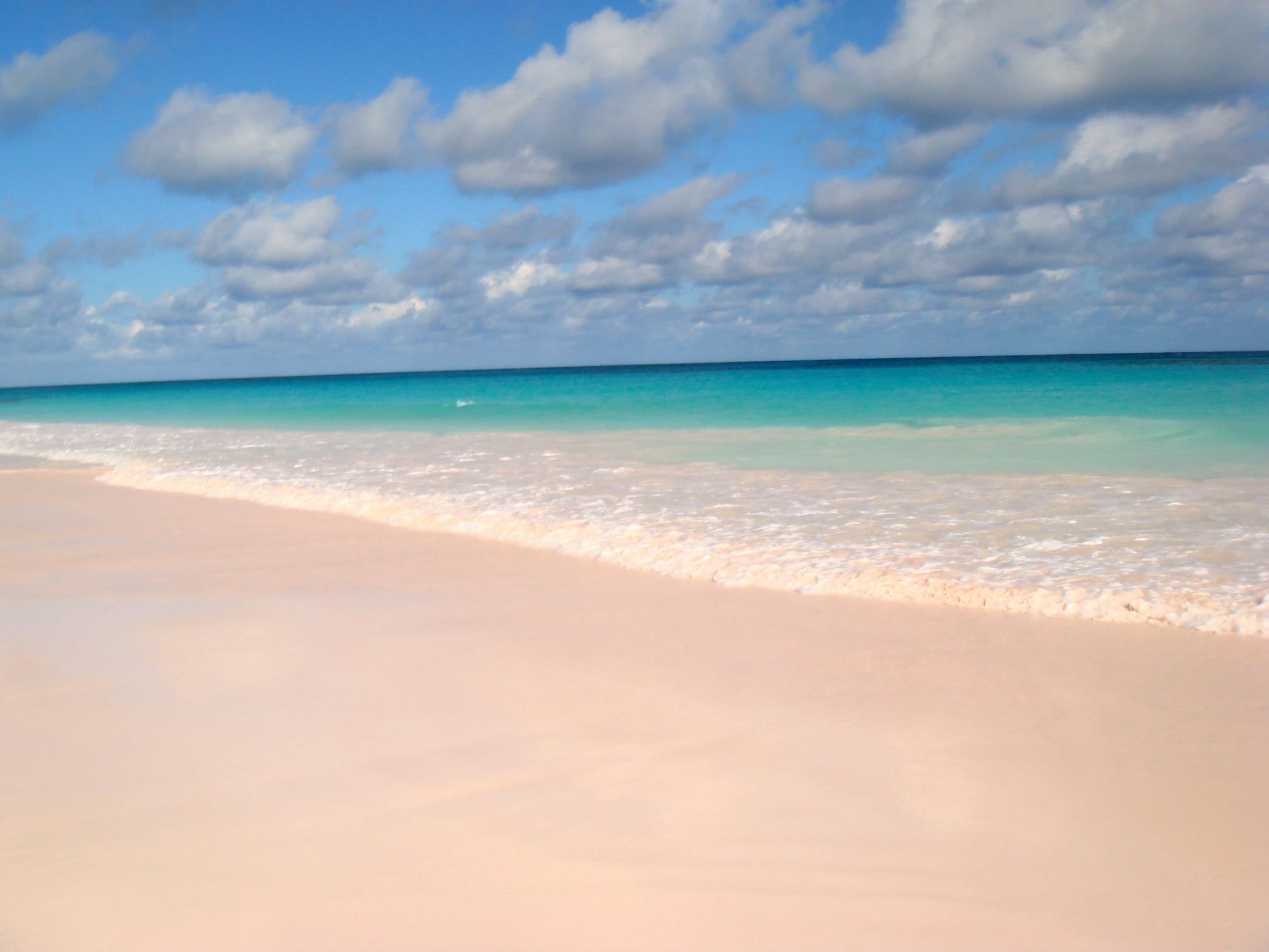
Pink Sands runs the length of Harbour Island's Atlantic side, three miles of it, and the colour is real — red-shelled organisms ground into white carbonate sand, most obvious at the waterline and in low sun.
It is the only beach in this directory whose sand is recorded as pink, and the only one on an island where the normal way to reach the beach is a golf cart. An offshore reef takes the worst of the Atlantic off it, so the water is swimmable without being lagoon-flat.
Plan of the bay
25°30′20″N 76°37′54″W —open Pink Sands Beach on OpenStreetMap.
Facilities
- Food
Access and parking
Water taxi from North Eleuthera to Dunmore Town, then across the island. There are public access paths between the properties along the beach; the survey found no car park, because there is hardly a car on the island.
What the survey found
Everything here is read from OpenStreetMap at the coordinates above, not from a press pack. No car park is mapped within 900 m of the sand.
- Toilets
- Not mapped
- Showers
- Not mapped
- Food or drink
- Mapped
- Rentals
- Not mapped
- Lifeguard
- Not mapped
- Parking
- None mapped
Nearest settlements: Dunmore Town 0.83 km.
SourceOpenStreetMapsurveyed 2026-09-21
More photographs
Taken by other people and licensed for reuse. Each was checked against Pink Sands Beach's own coordinates the same way the picture at the top was.
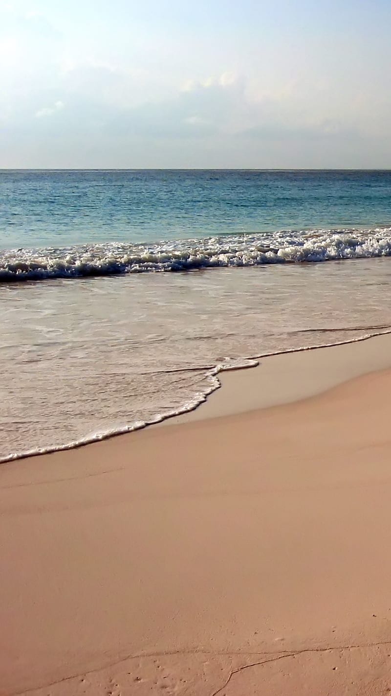
Mike's Birds from Riverside, CA, USCC BY-SA 2.0Pink Sands Beach , Harbour Island (4240568842) 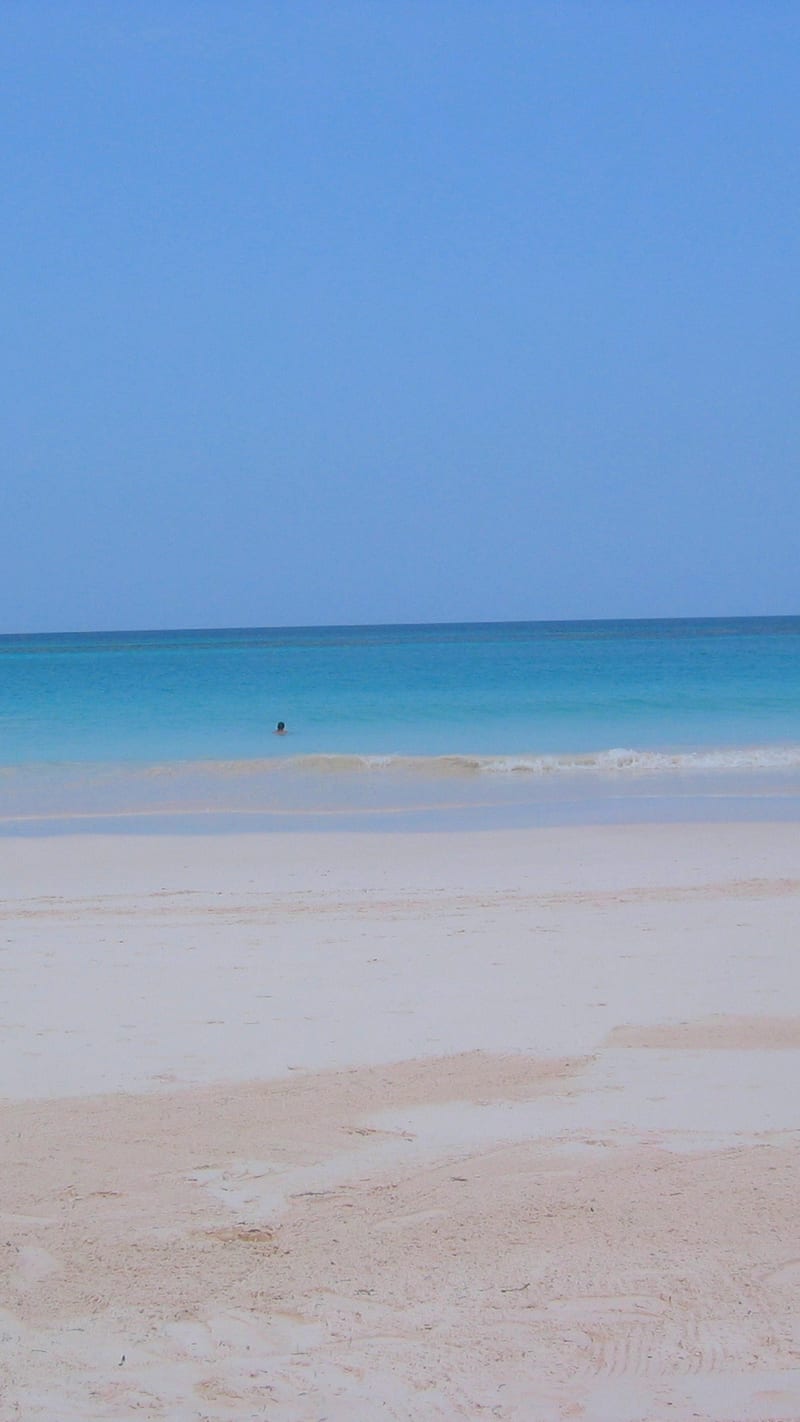
Mike's Birds from Riverside, CA, USCC BY-SA 2.0Pink Sands Beach, Harbour Island (4236832563) 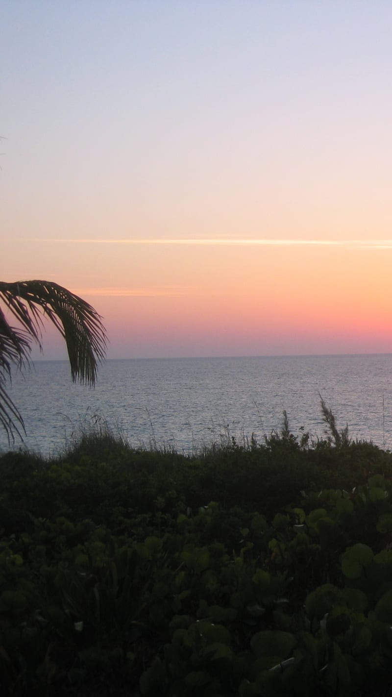
Mike's Birds from Riverside, CA, USCC BY-SA 2.0Sunrise at Pink Sands, Harbour Island (4236832127) 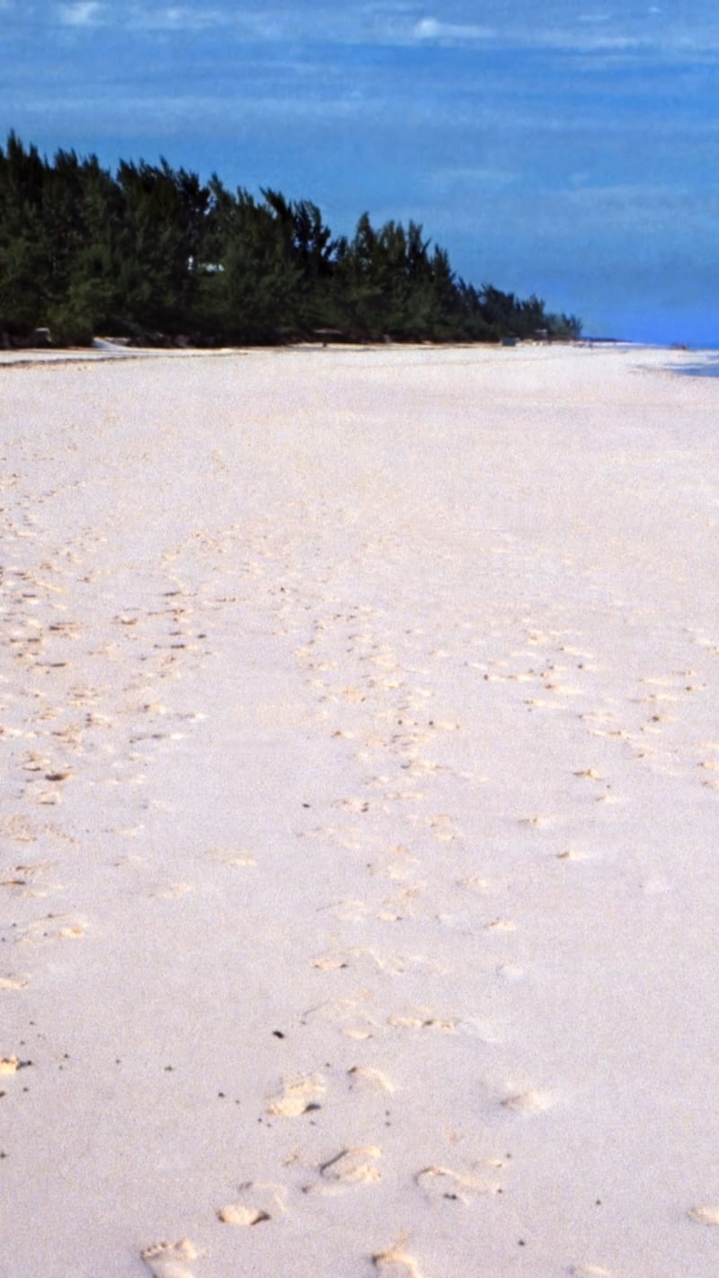
Rüdiger Stehn from Kiel, DeutschlandCC BY-SA 2.0Bahamas 1989 (342) Eleuthera Harbour Island (24320422055)
.jpg)
.jpg)
.jpg)
_Eleuthera_Harbour_Island_(24320422055).jpg)