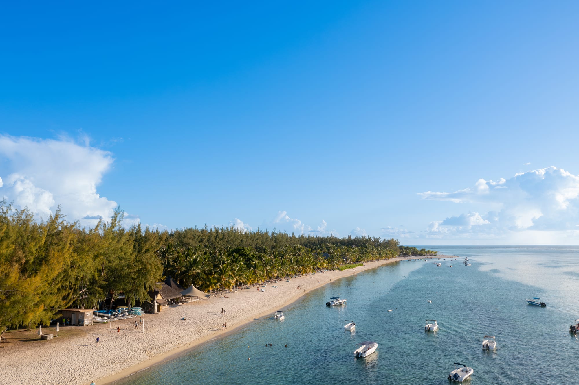
Le Morne Beach
20°27′21″S 57°18′41″E
Le Morne
- White
- Sand
- Sandy
- Water entry
- Calm
- Swimming
- Advanced
- Surf
- Good
- Snorkelling
- Moderate
- Crowd
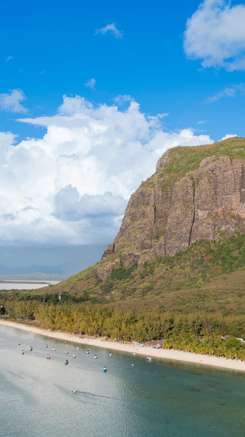
The public beach at Le Morne runs along the foot of the basalt mountain UNESCO inscribed in 2008, and the mountain is in every view from it. Inside the lagoon the water is shallow and flat; the reef edge is a long way out.
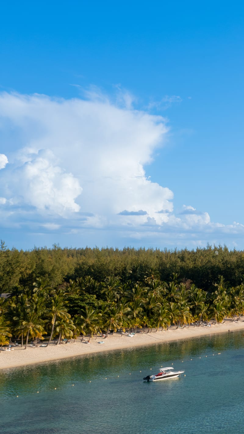
That gap between the sand and the reef is why this corner of Mauritius is a kitesurfing centre — flat water with wind over it, and a serious wave breaking on the reef beyond for people who want it. Swimmers and kites use different parts of the same lagoon, so it is worth looking at where everyone else is before going in.
Plan of the bay
20°27′21″S 57°18′41″E —open Le Morne Beach on OpenStreetMap.
Facilities
- Food
- Toilets
Access and parking
Free parking. Road access to a free public car park, per the survey. The beach is public; the resorts along the same lagoon are not, and the boundary is not always obvious from the sand.
What the survey found
Everything here is read from OpenStreetMap at the coordinates above, not from a press pack.
- Toilets
- Mapped
- Showers
- Not mapped
- Food or drink
- Mapped
- Rentals
- Not mapped
- Lifeguard
- Not mapped
- Parking
- One area · free
Nearest settlements: Le Morne 3.78 km, Coteau Raffin 5.04 km, La Gaulette 5.97 km.
SourceOpenStreetMapsurveyed 2026-09-21
More photographs
Taken by other people and licensed for reuse. Each was checked against Le Morne Beach's own coordinates the same way the picture at the top was.
.jpg)
.jpg)
Nearby beaches in Black River
- Flic-en-Flac Beach
White · Calm · Busy