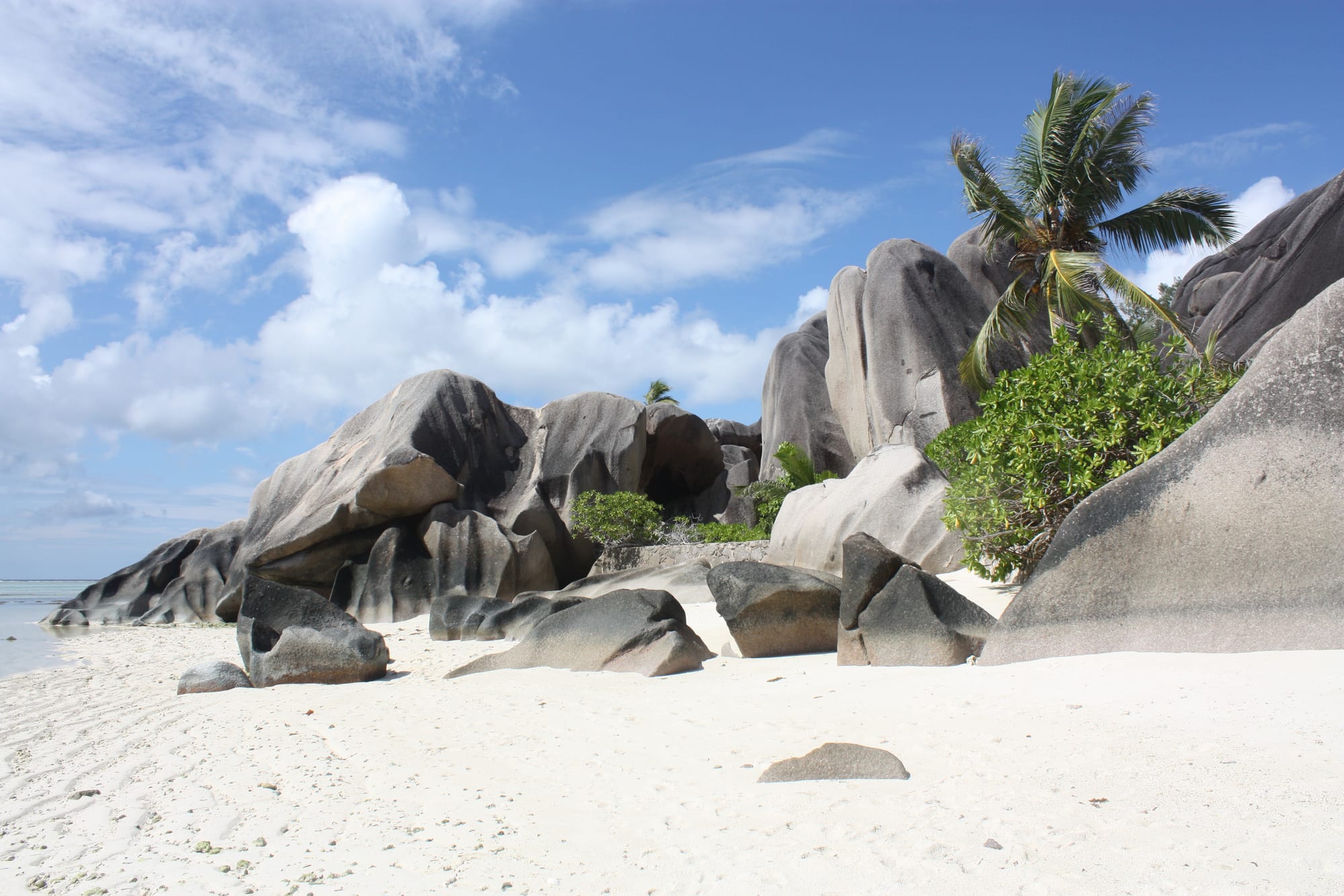
Anse Source d'Argent
4°22′03″S 55°49′35″E
L'Union
- White
- Sand
- Sandy
- Water entry
- Calm
- Swimming
- None
- Surf
- Fair
- Snorkelling
- Busy
- Crowd
Anse Source d'Argent is a sequence of small coves rather than one beach, divided by granite boulders the size of houses and sheltered by a reef close inshore. The water between the rocks is shallow enough to stand in a long way out.
Shallow is the point and also the limitation. It is extraordinary to look at and to wade through, and it is not somewhere to swim lengths. The light is best late, which is also when the day visitors from Praslin have gone.
Plan of the bay
4°22′03″S 55°49′35″E —open Anse Source d'Argent on OpenStreetMap.
Facilities
- Food
- Showers
- Toilets
Access and parking
Through L'Union Estate, which charges admission and has opening hours — the beach is not reachable round the headland at high tide. Bicycle is the normal way to arrive; the survey found no car park, because there is barely any traffic on La Digue.
What the survey found
Everything here is read from OpenStreetMap at the coordinates above, not from a press pack. No car park is mapped within 900 m of the sand.
- Toilets
- Mapped
- Showers
- Mapped
- Food or drink
- Mapped
- Rentals
- Not mapped
- Lifeguard
- Not mapped
- Parking
- None mapped
Nearest settlements: L'Union 0.9 km, La Réunion 1.79 km, La Passe 2.1 km.
SourceOpenStreetMapsurveyed 2026-09-21
More photographs
Taken by other people and licensed for reuse. Each was checked against Anse Source d'Argent's own coordinates the same way the picture at the top was.
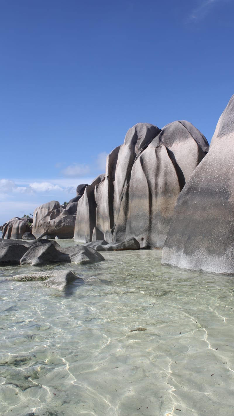
DariaCC BY 3.0Anse Source d'Ardgent - panoramio 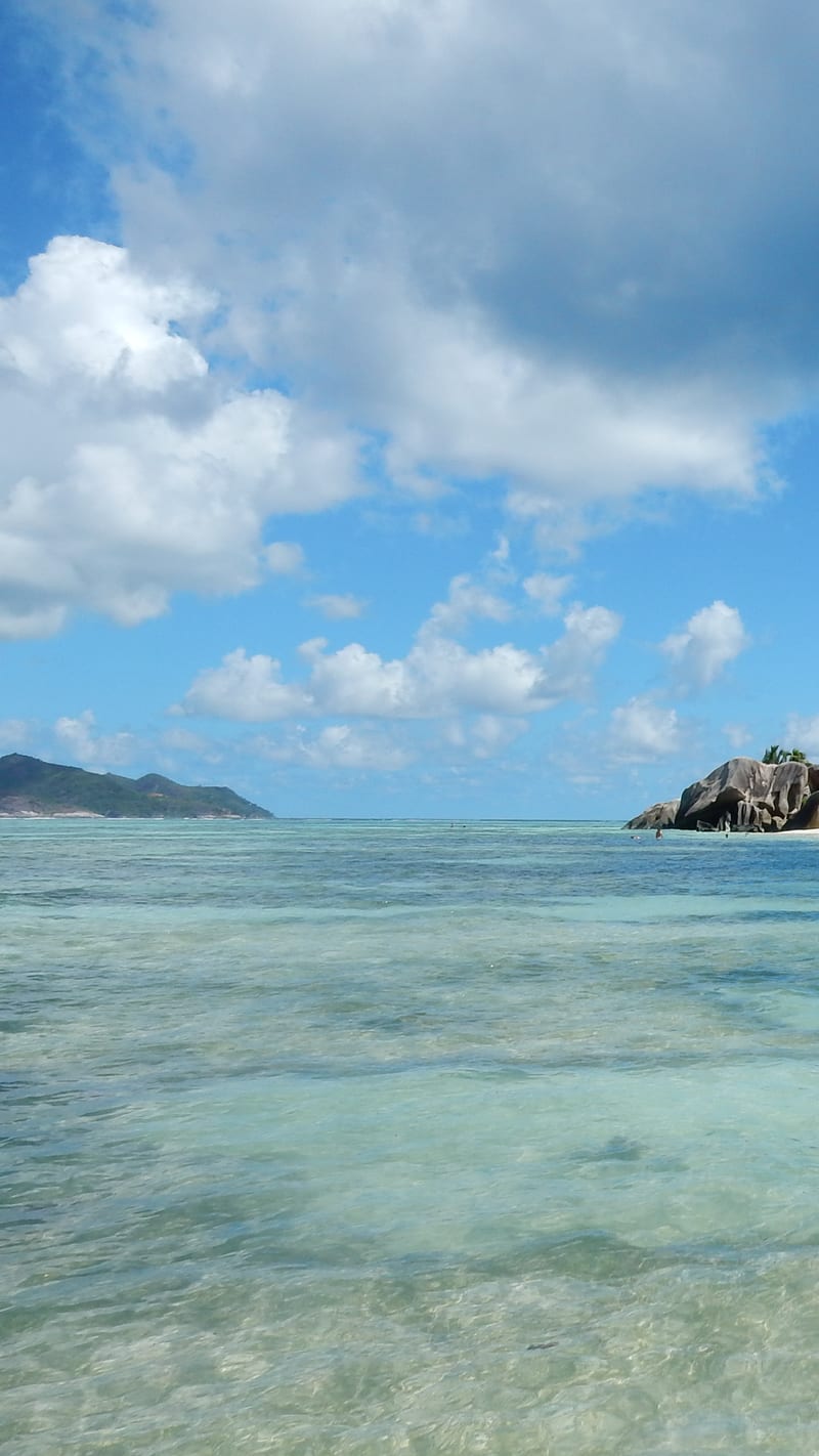
otterborisCC BY 3.0ANSE SOURCE D'ARGENT 2015 - panoramio (2) 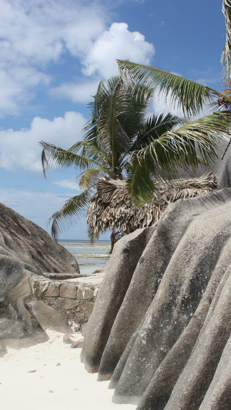
DariaCC BY 3.0Anse Source d'Argent - panoramio - Daria 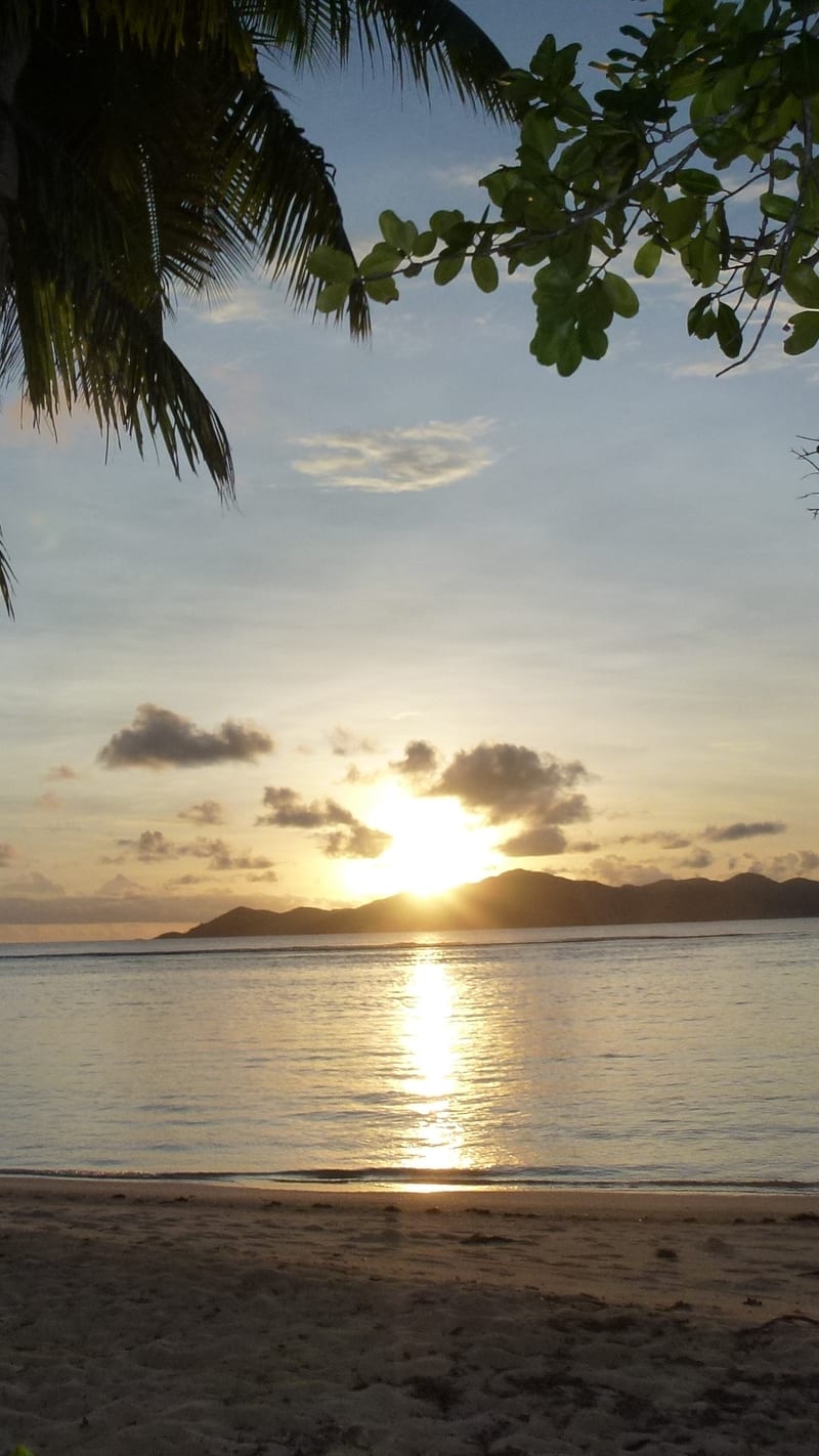
otterborisCC BY 3.0ANSE SOURCE D'ARGENT, APRIL 2013 - panoramio (35) 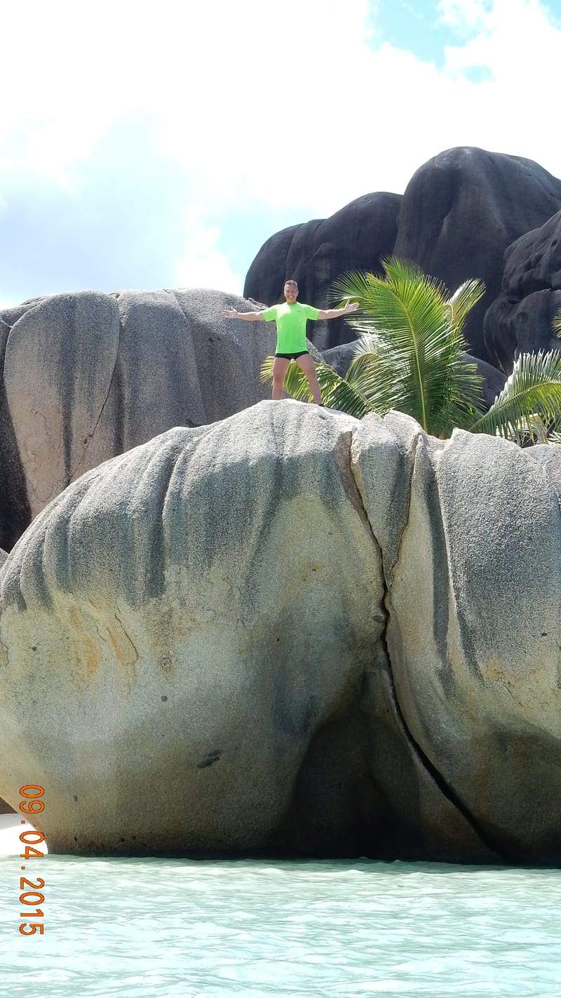
otterborisCC BY 3.0ANSE SOURCE D'ARGENT 2015 - panoramio (4) 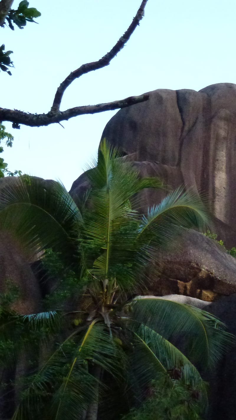
otterborisCC BY 3.0ANSE SOURCE D'ARGENT, APRIL 2013 - panoramio (48)

.jpg)

.jpg)
.jpg)
.jpg)
Nearby beaches in La Digue
- Grand Anse
White · Not advised · Quiet