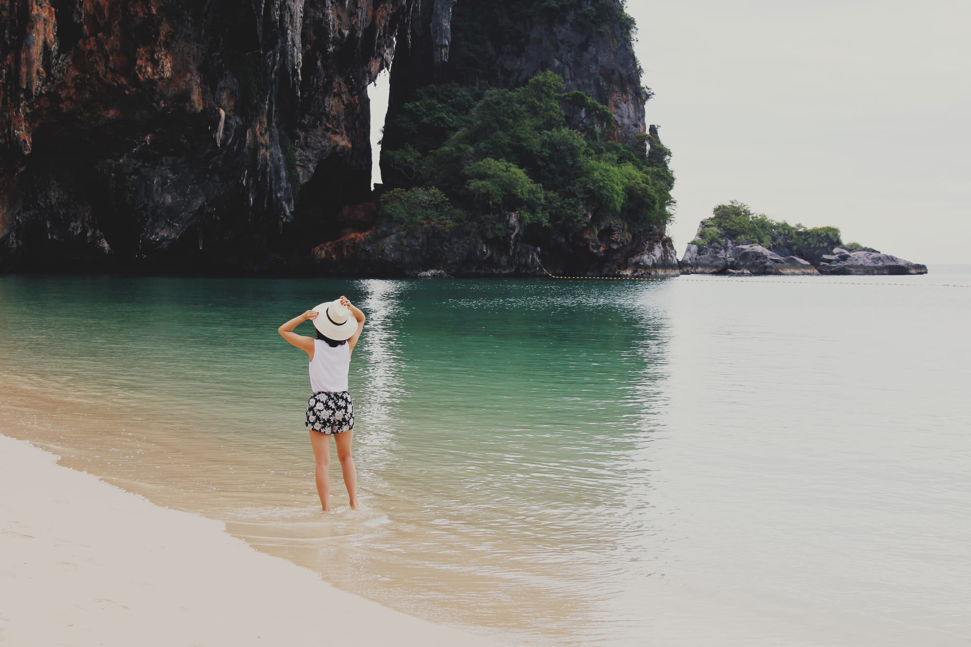
Phra Nang Cave Beach
8°00′21″N 98°50′16″E
Railay
- White
- Sand
- Sandy
- Water entry
- Calm
- Swimming
- None
- Surf
- Good
- Snorkelling
- Busy
- Crowd
Phra Nang sits round the point from Railay East, under a limestone overhang with a shrine in the cave at the end of it. The stacks standing out of the water a short swim offshore are the reason to bring a mask — there is structure and fish right there, without a boat.
It is small, it is spectacular and it is not a secret. The same boats that serve Railay come round here, and by the middle of the day the sand under the overhang is the only part not in full sun and everyone knows it.
Plan of the bay
8°00′21″N 98°50′16″E —open Phra Nang Cave Beach on OpenStreetMap.
Facilities
- Food
- Toilets
Access and parking
On foot from Railay East in about ten minutes along a paved path, or by longtail boat. No road, no car park, and no shade beyond the overhang and the treeline.
What the survey found
Everything here is read from OpenStreetMap at the coordinates above, not from a press pack. No car park is mapped within 900 m of the sand.
- Toilets
- Mapped
- Showers
- Not mapped
- Food or drink
- Mapped
- Rentals
- Not mapped
- Lifeguard
- Not mapped
- Parking
- None mapped
Nearest settlements: Railay (อ่าวไร่เลย์) 0.57 km, Ban Ao Nang (บ้านอ่าวนาง) 3.35 km, Ao Nam Mao (บ้านอ่าวน้ำเมา) 3.92 km.
SourceOpenStreetMapsurveyed 2026-09-21
More photographs
Taken by other people and licensed for reuse. Each was checked against Phra Nang Cave Beach's own coordinates the same way the picture at the top was.
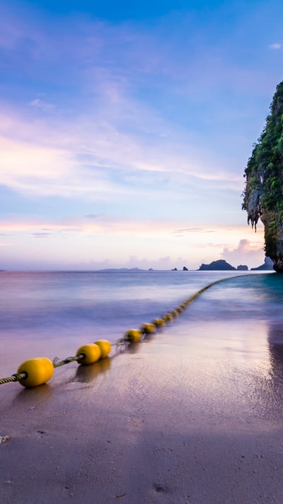
Marco Nürnberger from Nuremberg, GermanyCC BY 2.0Phra Nang Beach (30833603020) 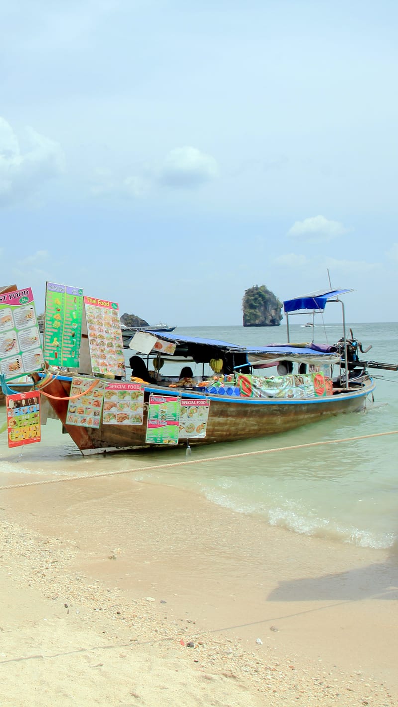
KareljPublic domainPhra Nang beach, fast food, Thailand 2018 1 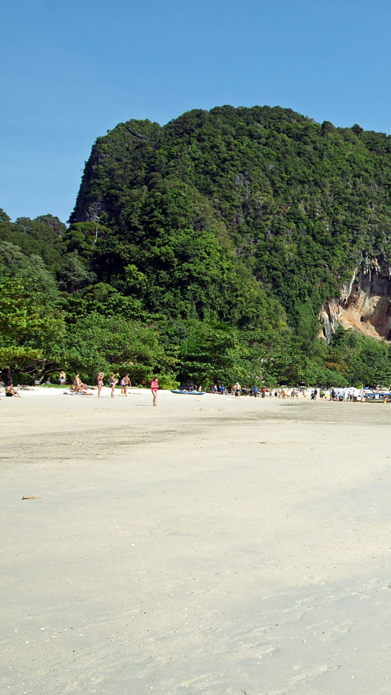
kallernaCC BY-SA 3.0Phra Nang beach 12 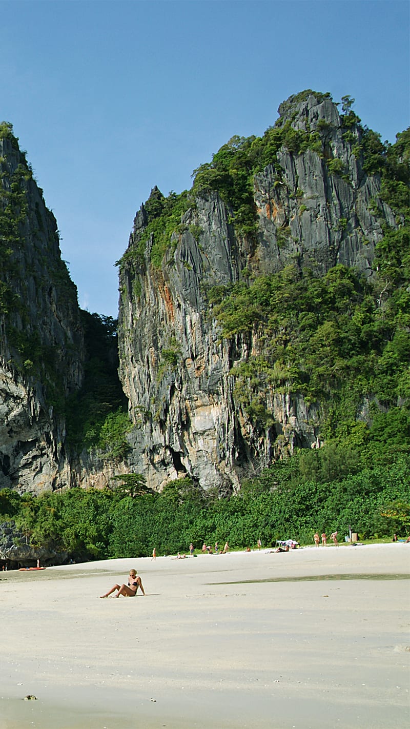
kallernaCC BY-SA 3.0Phra Nang beach 6 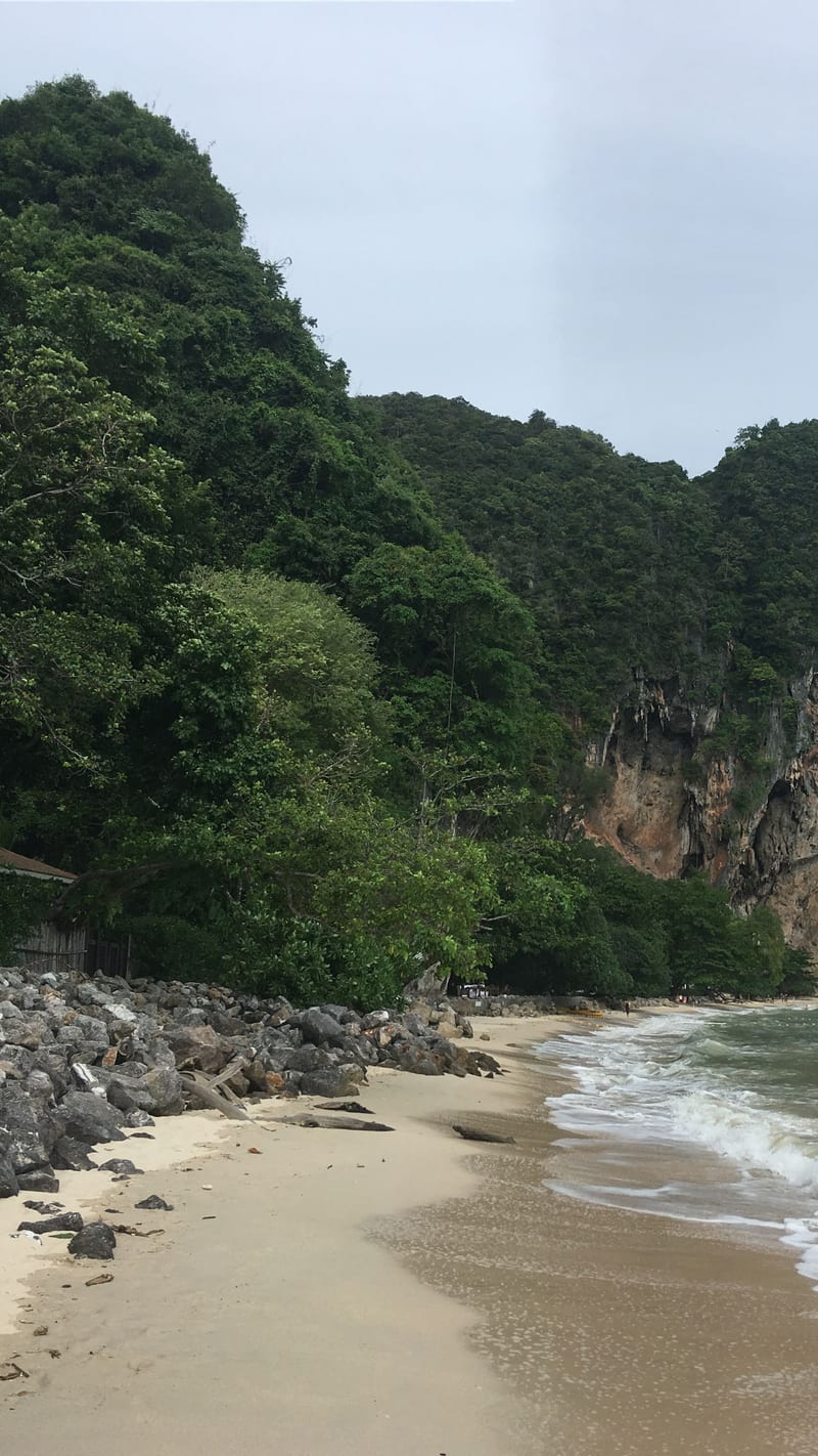
Christophe95CC BY-SA 4.0Phra Nang Beach 04 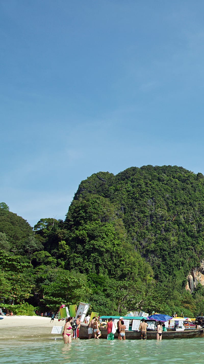
kallernaCC BY-SA 3.0Phra Nang beach 11
.jpg)


Nearby beaches in Krabi
- Railay Beach
White · Calm · Busy