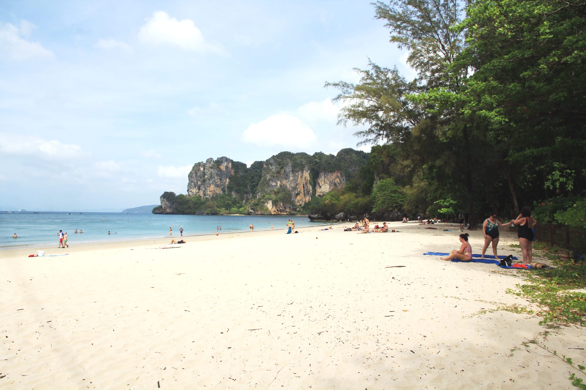
Railay Beach
8°00′42″N 98°50′16″E
Railay
- White
- Sand
- Sandy
- Water entry
- Calm
- Swimming
- None
- Surf
- Fair
- Snorkelling
- Busy
- Crowd
Railay West is the beach the longtail boats pull up on, a few hundred metres of sand between two limestone headlands with no road behind it. The water shelves gently and sits inside the shelter of the headlands, so it is swimming rather than surfing water almost all the time.
What it is not is quiet. Every boat from Ao Nang lands here and the resorts behind the sand share the same strip, so the middle of the day is busy in a way the photographs never show. Early and late are the beach's own hours.
Plan of the bay
8°00′42″N 98°50′16″E —open Railay Beach on OpenStreetMap.
Facilities
- Food
- Rentals
- Toilets
Access and parking
Longtail boat only, from Ao Nang or Krabi town. There is no road to Railay and no car park anywhere near it, so the last boat back is a real constraint on an evening — check the time before you settle in.
What the survey found
Everything here is read from OpenStreetMap at the coordinates above, not from a press pack. No car park is mapped within 900 m of the sand.
- Toilets
- Mapped
- Showers
- Not mapped
- Food or drink
- Mapped
- Rentals
- Mapped
- Lifeguard
- Not mapped
- Parking
- None mapped
Nearest settlements: Railay (อ่าวไร่เลย์) 0.23 km, Ban Ao Nang (บ้านอ่าวนาง) 2.84 km, Ao Nam Mao (บ้านอ่าวน้ำเมา) 3.5 km.
SourceOpenStreetMapsurveyed 2026-09-21
More photographs
Taken by other people and licensed for reuse. Each was checked against Railay Beach's own coordinates the same way the picture at the top was.
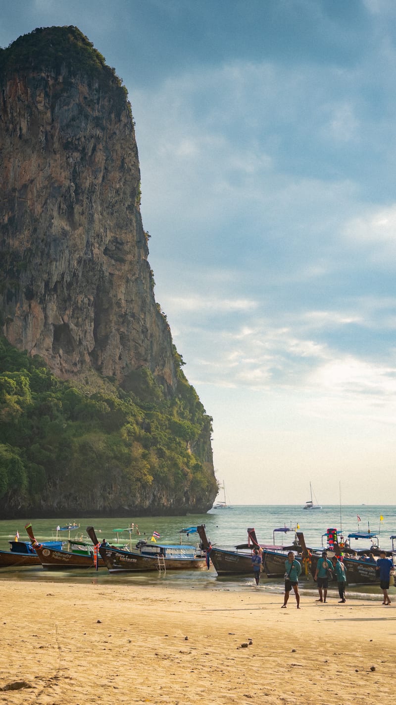
NnthurberCC BY-SA 4.0Limestone karst cliff and longtail boats at Railay West Beach Krabi 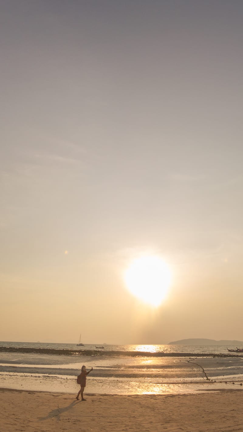
Maksym KozlenkoCC BY-SA 4.02016-04-07 Railay Beach Panorama 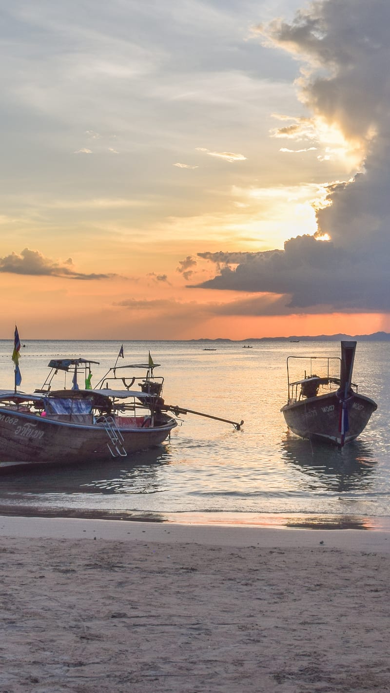
Krzysztof GolikCC BY-SA 4.0Sunset seen from West Rai Leh 02 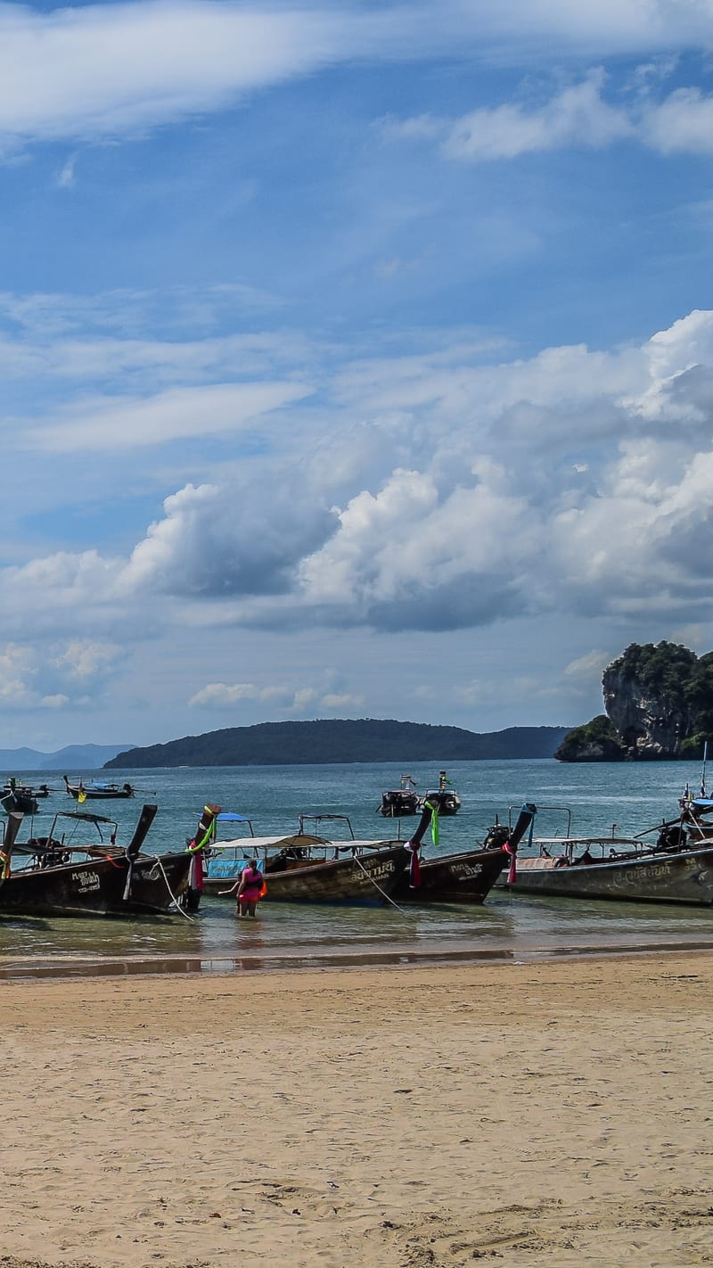
Krzysztof GolikCC BY-SA 4.0West Railay Beach 01 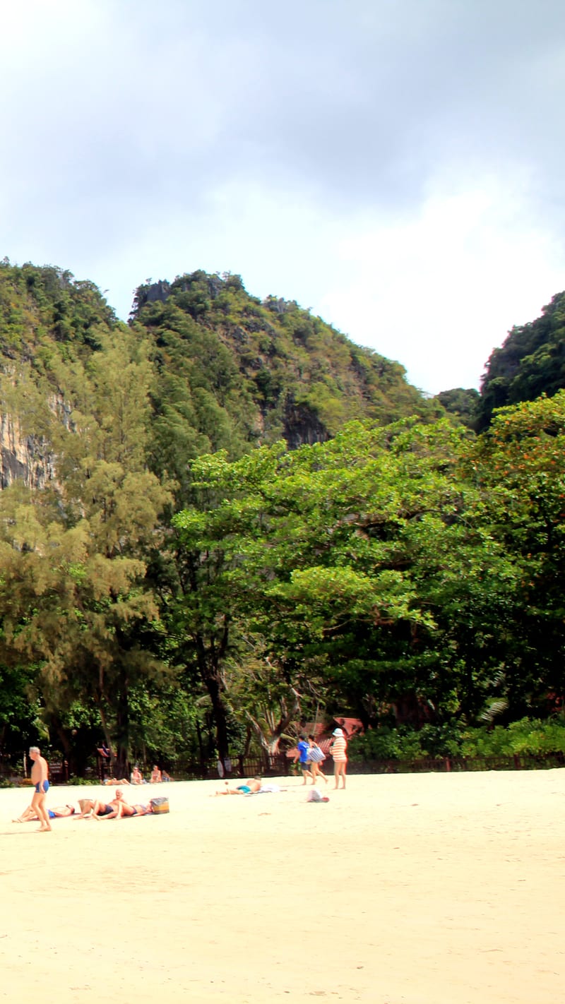
KareljCC BY 4.0Railay beach, Krabi province, Thailand 2018 3 
Krzysztof GolikCC BY-SA 4.0West Railay Beach 05


Nearby beaches in Krabi
- Phra Nang Cave Beach
White · Calm · Busy