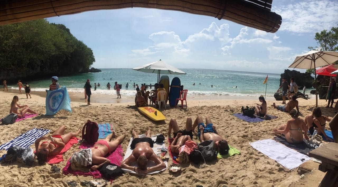
Padang Padang Beach
8°48′40″S 115°06′13″E
Pecatu
- White
- Sand
- Sandy
- Water entry
- Moderate
- Swimming
- Advanced
- Surf
- Fair
- Snorkelling
- Busy
- Crowd
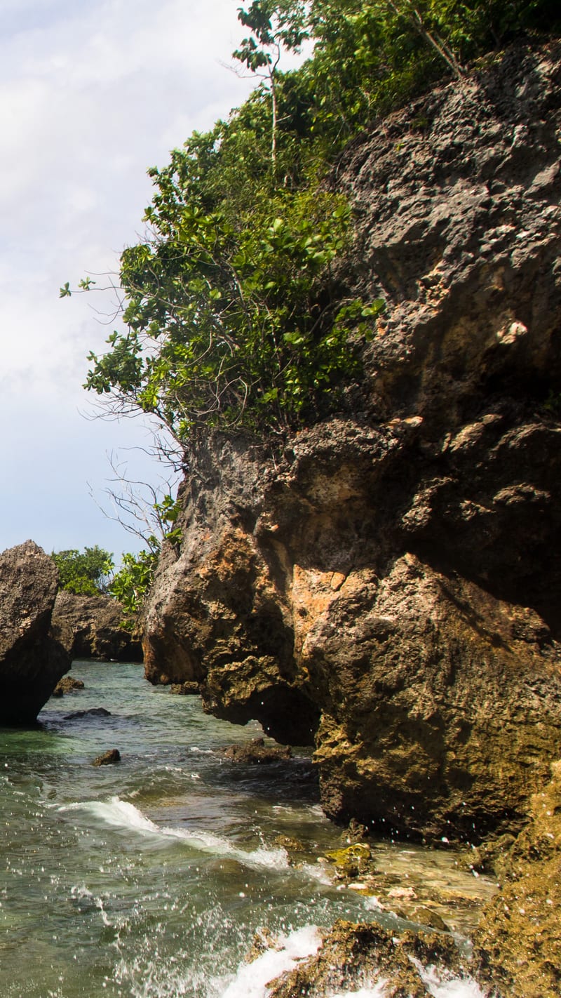
Padang Padang is reached through a gap in the rock — a staircase down the cliff and then a squeeze between two boulders that opens onto the sand. The beach on the other side is short, maybe a hundred metres, held between cliffs at both ends.
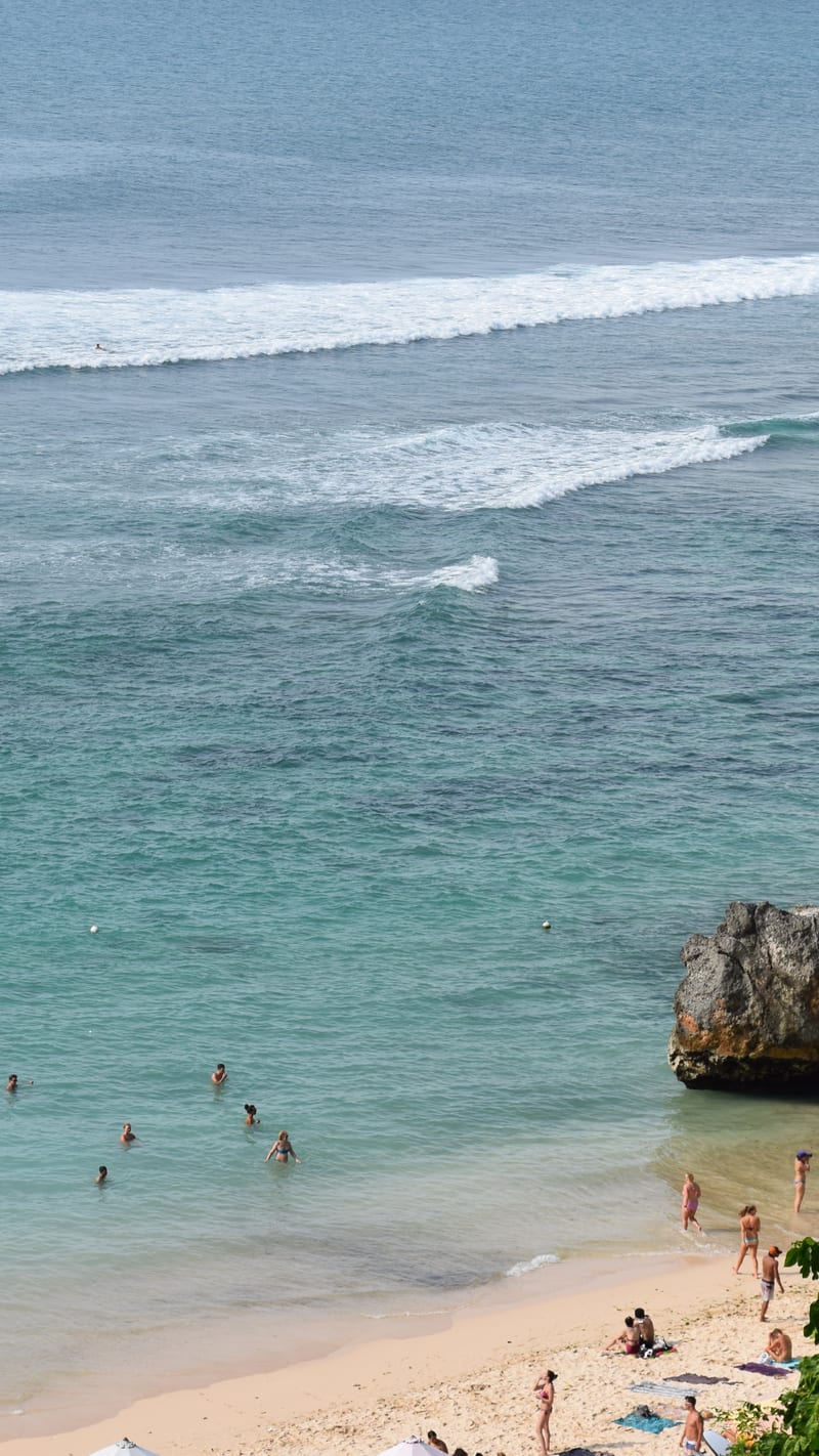
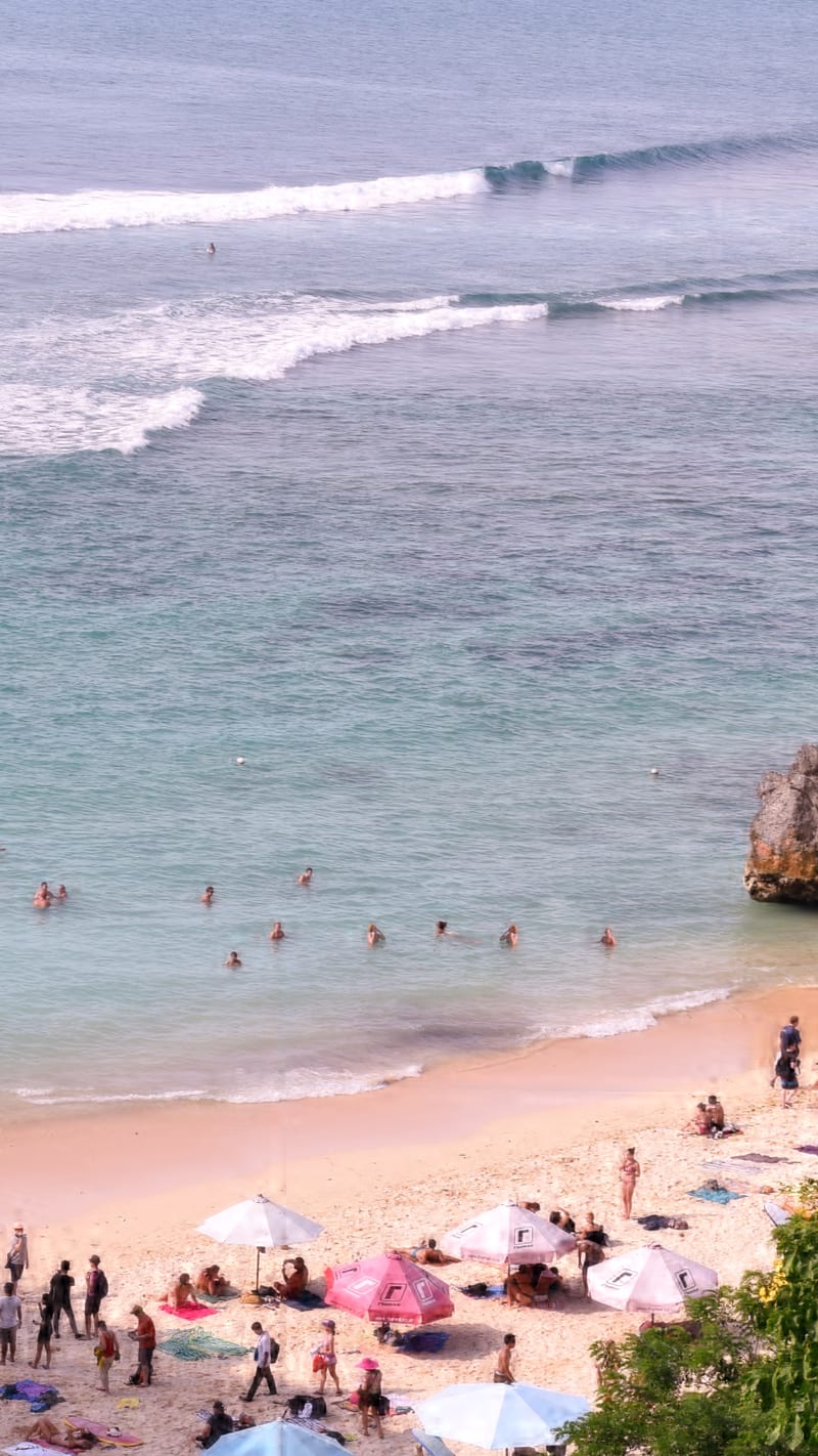
The wave off the reef in front of it is the famous part and it is not a beginner's wave: it breaks fast over shallow coral and it is the reason this beach has a name outside Bali. Swimming is fine inside it when the swell is small and is not when it is not.
Plan of the bay
8°48′40″S 115°06′13″E —open Padang Padang Beach on OpenStreetMap.
Facilities
- Food
- Toilets
Access and parking
Down a steep stone staircase from the road, then through a cleft in the rock. There is an entrance fee at the top. Everything you carry down you carry back up.
What the survey found
Everything here is read from OpenStreetMap at the coordinates above, not from a press pack.
- Toilets
- Mapped
- Showers
- Not mapped
- Food or drink
- Mapped
- Rentals
- Not mapped
- Lifeguard
- Not mapped
- Parking
- Six areas · charge not recorded
Nearest settlements: Pecatu 1.53 km.
SourceOpenStreetMapsurveyed 2026-09-21
More photographs
Taken by other people and licensed for reuse. Each was checked against Padang Padang Beach's own coordinates the same way the picture at the top was.

.jpg)
.jpg)
Nearby beaches in Bukit Peninsula
- Balangan Beach
Golden · Moderate · Moderate